Khulna City Corporation
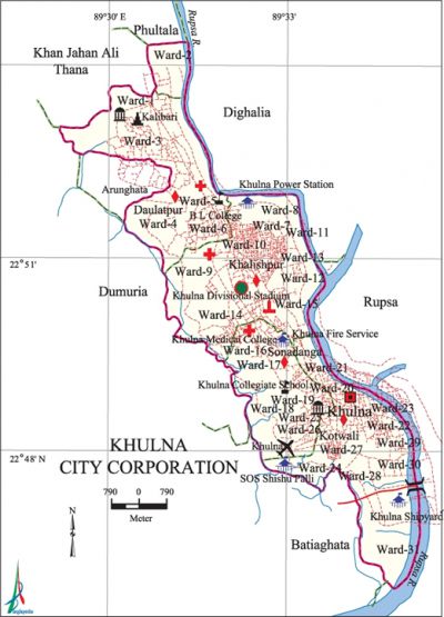
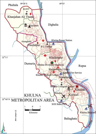
Khulna City Corporation area 40.79 sq km, located in between 24°45' and 24°54' north latitudes and in between 89°28' and 89°35' east longitudes. It is bounded by dighalia upazila and khan jahan ali thana on the north, batiaghata' upazila on the south, rupsa and Dighalia upazilas on the east and dumuria upazila on the west.
Population Total 770498; male 423496, female 347002.
Water bodies Main Rivers: Rupsa and bhairab.
| City Corporation | |||||||
| City Corporation | Thana | Ward | Mahalla | Population | Density (per sq km) | Literacy rate (%) | |
| 1 | 4+1 (Part) | 29+4 (Part) | 145 | 770498 | 18889 | 71.52 | |
| Thana | |||||||
| Thana | Area (sq km) | Ward | Mahalla | Population | Density (per sq km) | Literacy rate (%) | |
| Kotwali 51 | 9.45 | 9 | 63 | 250651 | 26524 | 72.86 | |
| Khan Jahan Ali (Part) 48 | 1.07 | 1 (Part) | 2 | 5177 | 4838 | 73.30 | |
| Khalishpur 45 | 11.47 | 9+1 (Part) | 41 | 235018 | 20490 | 73.72 | |
| Daulatpur (Part) 21 | 10.38 | 5+1 (Part) | 30 | 107573 | 10363 | 68.85 | |
| Sonadanga 85 | 8.42 | 6+1 (Part) | 9 | 172079 | 20437 | 68.91 | |
Source Bangladesh Population Census 2001, Bangladesh Bureau of Statistics.
 |
 |
| Khulna City Corporation at a glance | ||
| Declared as Pouroshava | 12 December 1884 | |
| Upgraded to Municipal Corporation | 12 December 1984 | |
| Declared as City Corporation | 6 August 1990 | |
| First Mayor (Selected) | Kazi Aminul Haque | |
| First Elected Mayor | Sk. Tayebur Rahman | |
| Current Mayor | Talukder Abdul Khaleque | |
| Number of holding | 51675 | |
| Population | 884445 | |
| Density of Population | 12616.90 (per sq km) | |
| Wards | 31 | |
| Ward commissioners | 31 | |
| Reserved Seats for woman commissioners | 10 | |
| Police Station | 3 | |
| Hospitals | 2 | |
| Roads | 356.64 km | |
| Drains | 642.18 km | |
| Super Markets | 4 | |
| Park | 6 | |
| No. of Public Hall | 2 | |
| Community Center | 20 | |
| Gymnasium | 3 | |
| Graveyard and Cemetery | 8 | |
| Bus Terminals | 2 | |
| Traffic signal | 16 | |
| No. of Ghats | 2 | |
Source Bangladesh Population Census 2001, Bangladesh Bureau of Statistics; Field Reports.
[Tapan Palit]
